
St. Charles Neighbors by Block
Public records answer different block questions. The county GIS map places adjacent parcels. The Assessor form supplies property characteristics and may return mailing or ownership information for a parcel. The Recorder holds the recorded transfer trail. Election and civic sources have narrower, rule-bound roles. No one source is a directory of every St. Charles neighbor, and a parcel result must not be mistaken for proof of a social relationship.
| Source | What It Shows About a Block | Access |
|---|---|---|
| County GIS parcel map | Adjacent parcel geometry, parcel IDs, roads, building footprints, and tax or situs labels | Public map with click, identify, and export tools |
| County Assessor | Characteristics and possible mailing or ownership fields for a searched parcel | Public address, street, ZIP, and parcel filters |
| Recorder of Deeds | Recorded transfers, legal descriptions, plats, and instrument history | In-office research, vendor access, or copy request |
| Election Authority | Statutory public voter-file fields and precinct information | Exact lookup or request, subject to limits |
| Library and Historical Society | Older directories, street files, maps, and family-history materials | Library or archive research |
Parcel and recorded-document sources describe land and instruments. They may point to a name or a correspondence address, but they do not establish every person connected to an address. For an older block, the library and Historical Society can add a dated directory or street-file clue without turning it into a current record. The St. Charles County Historical Society keeps street files, deeds and abstracts, court books, maps, directories, and family-history materials at the Old Market House, where an archive inquiry is the fallback when an online search stops.
Map a St. Charles Block
The adjacent-parcel method starts at one target address and moves only across the lot lines and road frontage immediately around it. The county map is a spatial tool. A selected parcel is a map neighbor, not evidence that people share a relationship. Save the returned parcel ID and the date so the next record can be checked against the same place.
- Search the address in St. Charles County GIS Mapping and open the target parcel.
- Note the parcel ID, road frontage, situs label, and visible context, then click the parcels immediately across each lot line and along the same block.
- Use Identify or Advanced Identify, then export the selected attributes or save the unique map link and print context.
- Search each parcel or address in the Assessor form, then use the Recorder index and recorded instrument for a title question.
The St. Charles street directory is the better route when the question expands from the nearby block to a whole named street.
St. Charles Neighbor Parcel Tools
The official map-help material identifies a green search bar, Clear Graphics, Identify, Advanced Identify, selection and tabular export, Draw and Measure, bookmarks, a unique-link email tool, and JPEG, PDF, or print export. Measure and drawing tools give context for a block; they are not a legal survey. GIS also brings together address points, parcel sales, building footprints, roads, tax layers, voting districts, zoning, and aerial context.
The County GIS gateway describes the public mapping and zoning route.
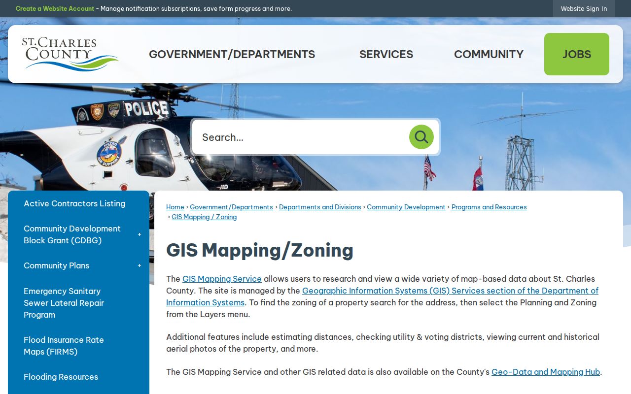
Use the map result to direct a parcel or address search, then retain the parcel identifier rather than relying only on a point on the screen.
The Assessor has no exposed owner-name field. It accepts account, address or street, city, ZIP, parcel, subdivision, neighborhood code, and other property fields. Assessment information is for assessment purposes and is not a title verification. A recorded deed or plat remains the document route for legal ownership questions.
For help beyond the public map, the GIS page gives GISServices@sccmo.org as its contact. The Assessor office is at 201 N. Second Street in St. Charles, with public form searches and office telephone routes. The Recorder's research area is an additional fallback for a recorded instrument, with walk-in research, mail, Tapestry, Laredo, and e-recording channels. Note: A map boundary is useful context, but a surveyor or recorded instrument controls a legal boundary question.
St. Charles Voter Files
Missouri's public voter rules are narrower than a block browse. The state confirmation form requires the exact registered first and last name, date of birth, last four digits of the Social Security number, and county. A non-match only means that exact combination did not locate a registration. The polling-place route is also address or voter centered, not a public neighborhood list.
A public voter file can be requested from the St. Charles County Election Authority by email at election@sccmo.org. Include requester identity and contact information, say whether the scope is countywide or a political subdivision, and request email delivery. RSMo §115.157 limits the release set and protects qualifying residential addresses. Full date of birth, Social Security information, and ballot choices are not part of the public web route. The Election Authority also offers an in-person fallback at 397 Turner Boulevard in St. Peters.
St. Charles Neighborhood Groups
Community organizations can be a more appropriate way to connect with a block than trying to infer membership from a map. The City's volunteer listing names several groups and points to a wider service network. It does not publish a public member directory, and the research did not locate current public rosters for the groups below. Contact the organization directly rather than treating a group name as a list of people.
| Group or Source | Local Relevance | Public Access |
|---|---|---|
| St. Charles Neighborhood Preservation Partnership | City-formed nonprofit supporting property maintenance, accessible modifications, and neighborhood quality-of-life concerns | City identifies the group; no public member directory located |
| Community Council of St. Charles County | Broader community-service list named by the City | Umbrella route; exact current directory URL not located |
| Jaycees, Kiwanis, Lions, Optimist, and Rotary | Largest community groups named on the City page | Contact through each organization; no public member rosters located |
| Boards, commissions, and committees | Municipal volunteer and appointment route for City residents or property owners | Application and appointment route; roster coverage not fully captured |
The City volunteer-opportunities page is the documented starting point for this local inventory.
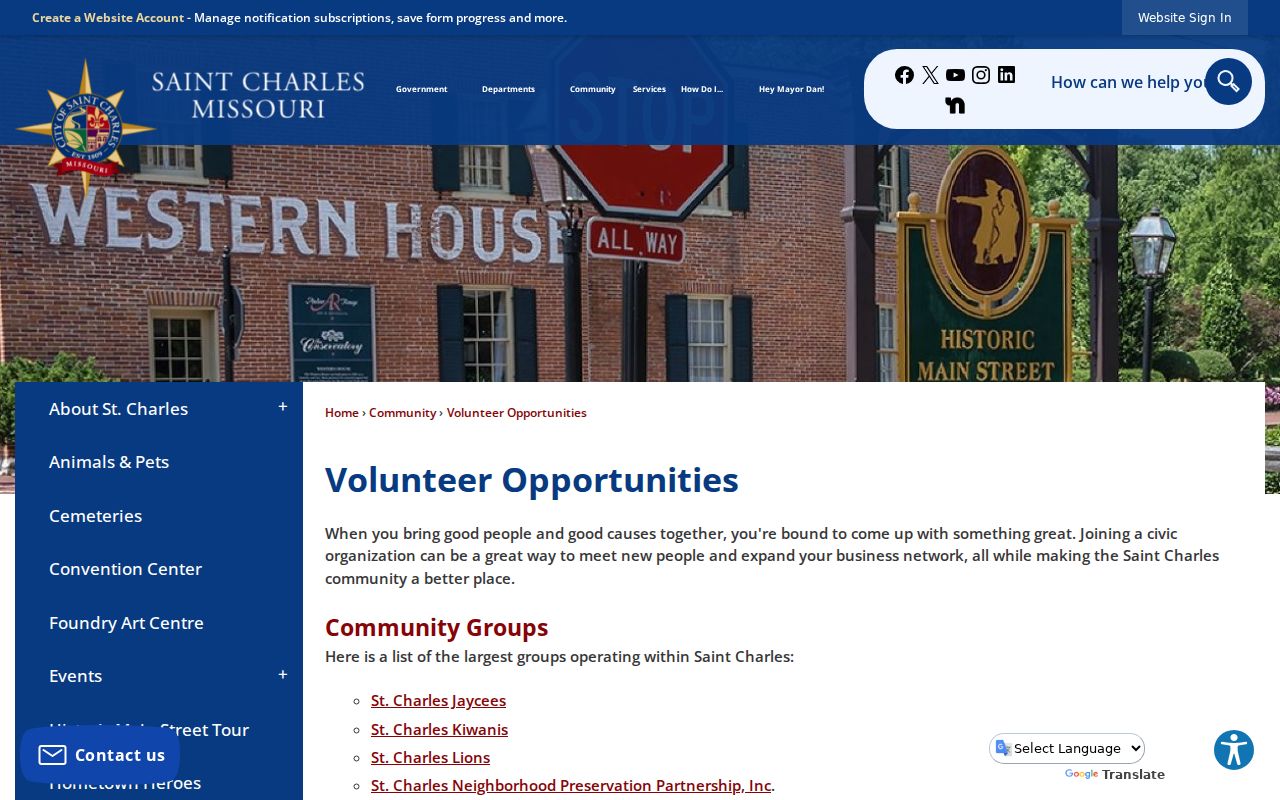
The listed organizations offer community contacts, but their names do not authorize publication of private membership information. The documented City list is a starting place for reaching a group, not a substitute for consent or a roster.
St. Charles Community Traces
Some block questions are historical rather than current. Oak Grove Cemetery dates to the mid-1800s and reports nearly 12,000 burials. It has no public online interment lookup in the reviewed sources. For a dated family or community inquiry, call the cemetery or consult Historical Society records instead of treating a burial record as a current address result.
The City's Oak Grove Cemetery page provides the official contact and interment route.
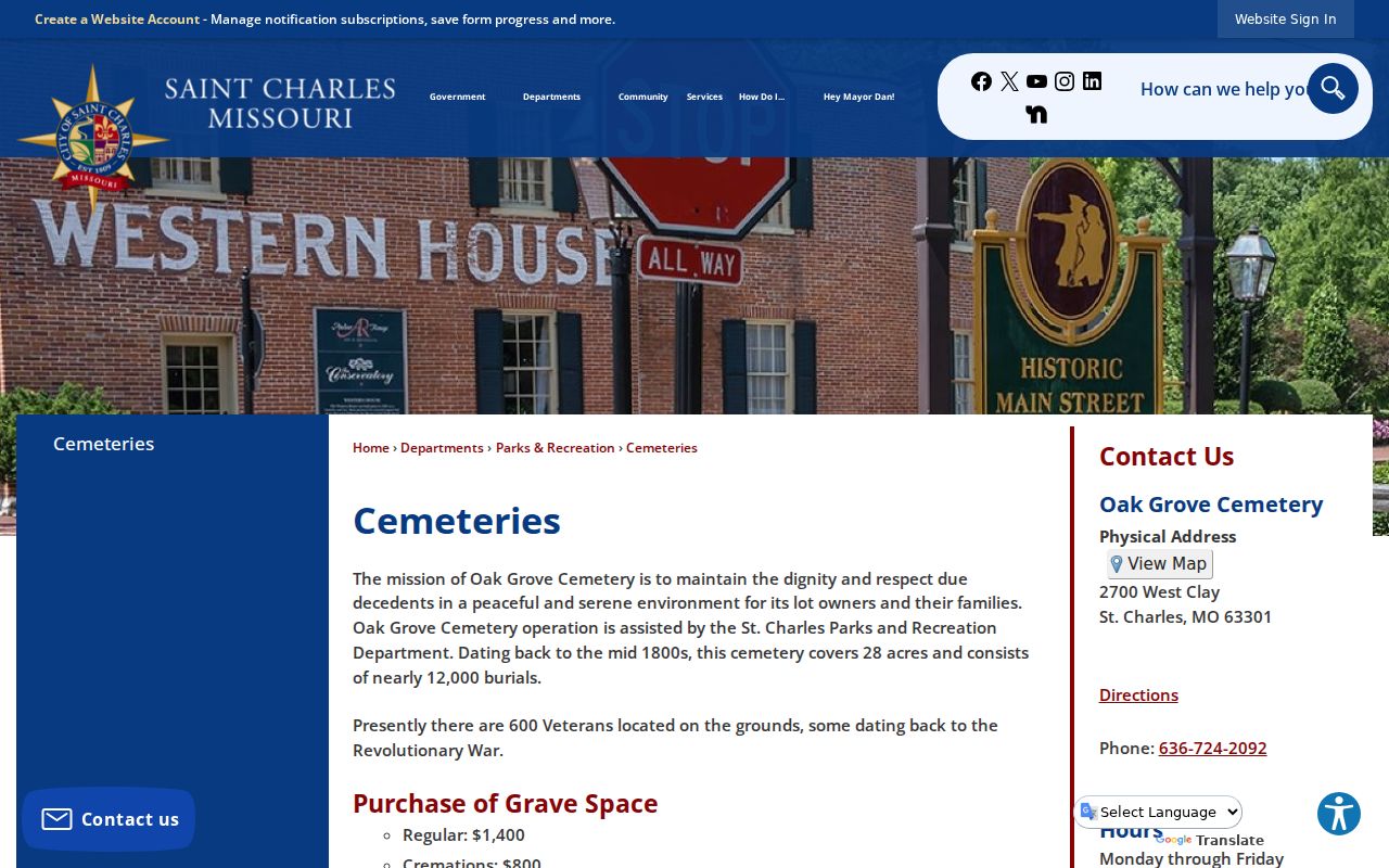
A cemetery inquiry can add a historical community clue, but it should be confirmed with the custodian or archival material.
Permit activity is another address-based clue. The City portal searches service address, permit number, or permit type. The City Building Division also accepts phone contact for plan review, permit issuance, inspections, and code administration. St. Charles County Community Development covers permits, plans, contractor licenses, and property-maintenance complaints, but the county public portal did not expose a reliable field list during review. Use the City service-address search or ask the County route about the appropriate request channel.
The County Community Development page identifies the county's permits and plans route.
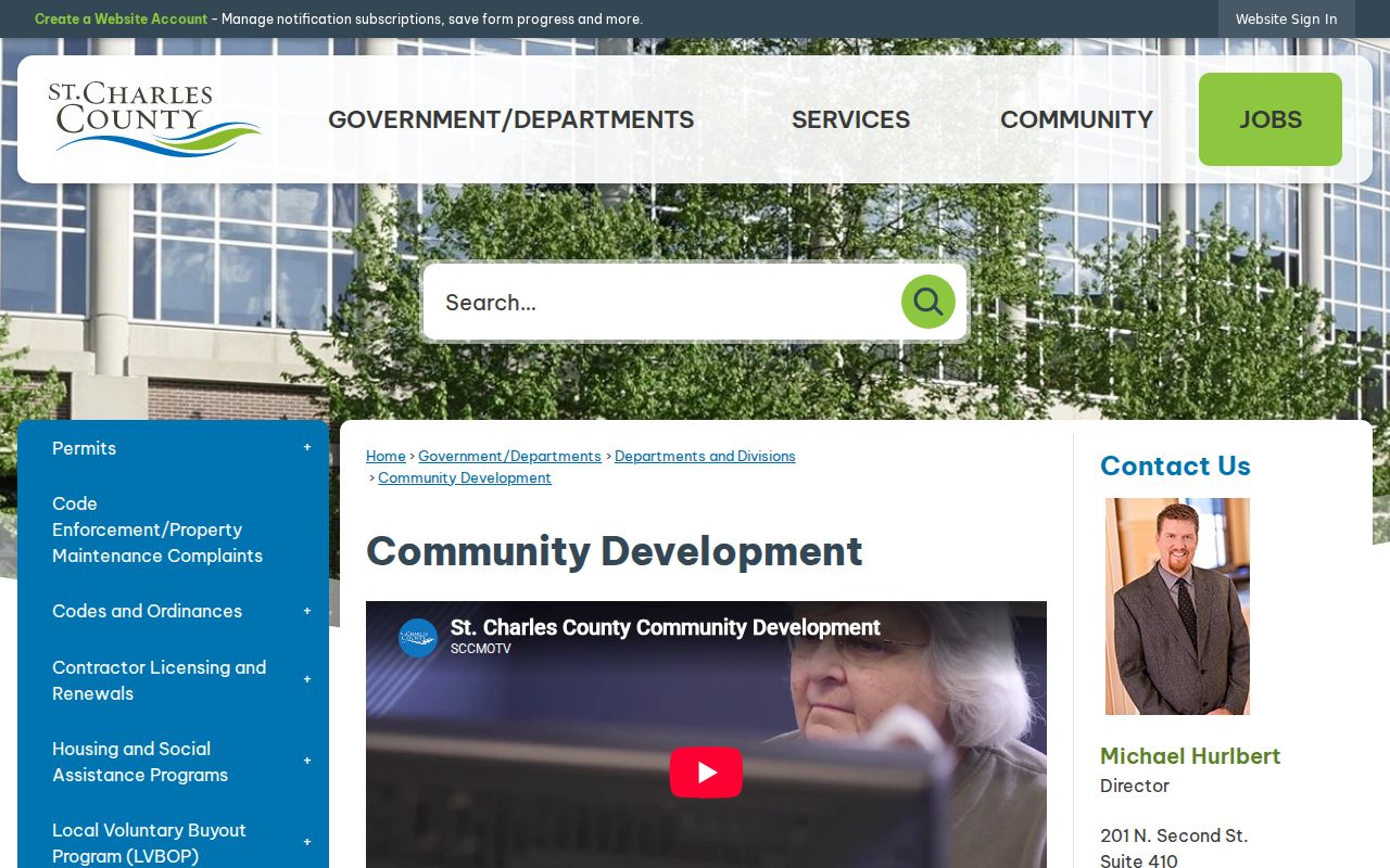
The county page is a routing source, not evidence that a public block-level permit index has every historical record.
Compare St. Charles Block Sources
Official sources keep the relationship between a record and its custodian visible. Commercial neighbor-lookup products are data-broker compilations that may combine old owner or address data. They cannot replace the parcel, Recorder, voter, and directory trail, and they may be stale. For a question that matters, retain the official URL, the search date, and the record reference.
| Source Category | Best Use | Limit |
|---|---|---|
| Official parcel and Recorder records | Locate land, parcel context, and recorded instruments | Different records answer different questions and may require office access |
| Election and community routes | Use the statutory voter-file process or direct organization contact | Protected addresses and private rosters are not open block data |
| Commercial compilation tools | May supply an unverified starting hint | Can be stale and are not a substitute for the public-record chain |
County GIS layers can change, and assessor values are current certified values rather than timeless profiles. A saved map link, export, or print plus the official URL gives a later reviewer a better way to repeat the block search and identify any changed result.
Protect a St. Charles Block
Missouri public access is record-specific. Chapter 610 requires custodians to separate closed material where possible, but it does not create an unrestricted person search. Safe at Home gives qualifying participants a designated address for new government and court records, and historical entries may still require careful treatment. Under RSMo §115.157(6), a court can close a qualifying residential voter address for undercover officers, witness-protection participants, and certain protected victims.
Private communications, utility and delivery records, full voter birth data, Social Security information, ballot selections, and informal group membership are outside this public block method. If a third-party compilation has an error, use its privacy or opt-out procedure and preserve the confirmation. Removal from one compilation does not alter government records or other copies.
The Recorder also links privacy and Judicial Privacy Act information for recorded documents. Do not republish Social Security numbers or protected details found in older filings. A Sunshine Law request should identify an existing record, date range, delivery method, and fee-notice preference; it cannot require a custodian to create a personal profile or certify an unsupported identity.
Lawful use. Use St. Charles neighbors records for personal block awareness, reconnection, or civic curiosity. Do not use an address trail to stalk, harass, intimidate, or harm anyone.