
St. Charles ZIP Coverage
Official Missouri and USPS reference material documents four mailing ZIPs for St. Charles: 63301, 63302, 63303, and 63304. The evidence identifies mailing-city and destination relationships, not neighborhood borders or a list of people. The county has not published a complete neighborhood-to-ZIP map in the material reviewed. Treat each row as a delivery-geography starting point, then verify an individual address through the county map and the postal service.
| ZIP Code | Areas Covered | Post Office | Notes |
|---|---|---|---|
| 63301 | St. Charles mailing city in the Missouri reference | USPS destination 63301 | City and county boundaries can differ. |
| 63302 | St. Charles mailing city in the Missouri reference | USPS destination 63301 | Standard versus PO Box classification was not established. |
| 63303 | St. Charles mailing city in the Missouri reference | USPS destination 63303 | No official neighborhood list was located. |
| 63304 | St. Charles mailing city in the Missouri reference | USPS destination 63303 | City and county boundaries can differ. |
The Missouri ZIP, city, and county table supplies the mailing-city rows, while the archived USPS destination table supplies the documented grouping. No official station names, route boundaries, population totals, registration totals, ZIP splits, or realignments were found for these four rows.
St. Charles ZIP Destinations
The two destination groups matter when comparing a mailing label with a database field. USPS groups 63301 and 63302 to destination 63301. It groups 63303 and 63304 to destination 63303. That is a postal sorting relationship, not a declaration of city limits, an election district, or a property boundary.
St. Charles sits inside a larger county geography with separate City and County layers. A St. Charles mailing city may serve an address outside the incorporated city, while a city parcel can be described differently in another system. When records disagree, preserve the exact field label and source rather than forcing them into one place name.
Start with the full address on the record, not a map label alone. The ZIP helps route a search, but the Assessor, GIS, and Recorder each preserve a different part of the location trail. The captured research does not support a claim that any ZIP belongs entirely to one neighborhood, city district, or delivery route. Note: A delivery ZIP helps narrow an address, but it does not identify a household.
Filter St. Charles ZIPs
The county Assessor is the usable ZIP-wide property route. Its public form includes a ZIP dropdown alongside Address or Street Name, City, parcel, subdivision, and other property characteristics. It does not expose an owner-name search. A ZIP result therefore narrows property records, not a public resident roster. Record the search date because certified values and map services can change.
- Select the known ZIP in the St. Charles County Assessor property search, then add an address, street, city, or parcel detail when needed.
- Open the county GIS map and compare the returned parcel with the ZIP polygon and tax or situs layers.
- Keep the situs address, any mailing address shown, and the parcel identifier as separate notes.
- Use the Recorder instrument if a title question remains, because assessment data is not a legal transfer record.
Once a ZIP result points to a particular road, the St. Charles street directory gives the address-focused record chain. Historical reverse directories are a different tool: they predate widespread ZIP use and work best by street and number.
If the online form does not resolve the parcel, the Assessor office is at 201 N. Second Street in St. Charles and lists real-estate and general telephone routes. The GIS page lists GISServices@sccmo.org for mapping questions. For a recorded instrument, the Recorder provides walk-in research, mail, Tapestry per-search access, Laredo subscription access, and e-recording channels. In-office Recorder research is free; paper prints are listed at $1 per page. These fallbacks are more dependable than trying to make a ZIP produce a title answer.
St. Charles ZIP Search Fields
Use the ZIP control with another known fact whenever possible. The Assessor form accepts broad filters, but its captured material does not state result caps or pagination. The available controls support a measured search rather than guessing at an entire delivery area.
| Field | Type | Use with ZIP |
|---|---|---|
| ZIP | Dropdown | Constrains property results to the selected ZIP. |
| Address or Street Name | Text | Targets an address or partial street within that ZIP. |
| City | Dropdown | Separates a city choice from the delivery field. |
| Parcel ID | Segmented text | Connects the result to a stable property identifier. |
| Subdivision | Text | Adds a recorded development reference where known. |
The GIS ZIP layer exposes a ZIP_CODE field and supports polygon queries in JSON, GeoJSON, and PBF formats. It is a boundary-checking layer, not a list of residents. The captured service shows a maximum record count of 1,000 and a select limit of 2,000, so a map selection is not a claim about all people in a ZIP.
Use the map's search, Identify, Advanced Identify, and export tools to keep a parcel result tied to its geometry. The map can show address points, building footprints, road center lines, current land use, and tax context. It also has a legal-boundary disclaimer. A parcel line or ZIP polygon is useful for context, but it is not a survey and it does not replace a recorded plat or legal description.
St. Charles Election Routes
Election tools answer individual or address-based questions, not ZIP browsing. Missouri's registration confirmation requires the exact registered first and last name, date of birth, last four digits of the Social Security number, and county. The polling-place route likewise works from a supplied voter or address context. Neither route creates a public list for a ZIP.
The St. Charles County polling-place search shows the county's address-centered election route.
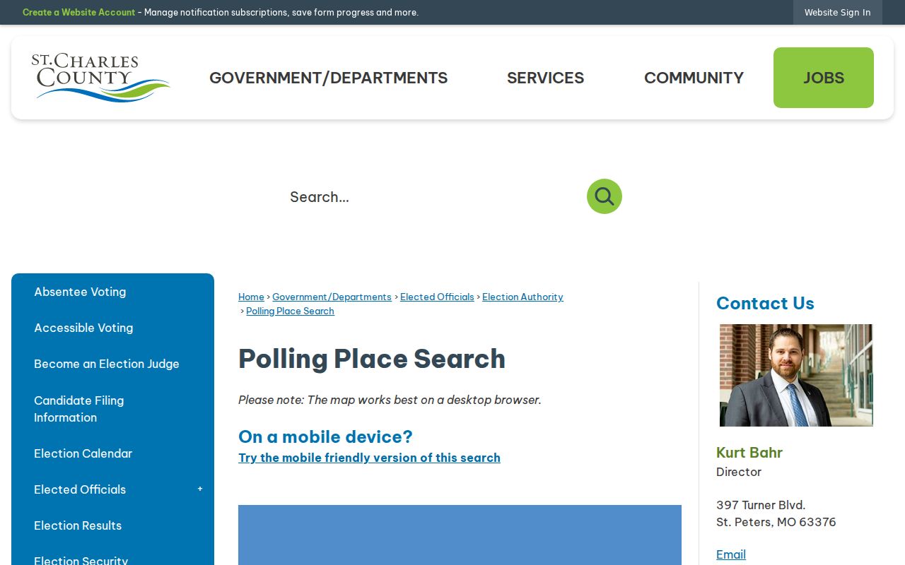
Polling information should be checked against the supplied address because ZIP geography does not replace the voting address and precinct.
For a public voter file, email the Election Authority with requester contact information, the countywide or political-subdivision scope, and an email-delivery request. Missouri law limits the public release set, commercial use, and protected addresses. The Election Authority office also provides an in-person county contact route.
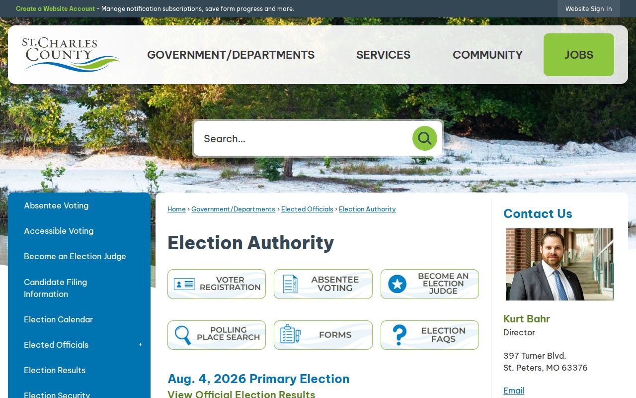
This office route is the fallback when an online confirmation does not answer a request within the statutory public fields. The public set can include name, year of birth, address, township or ward, and precinct in the statutory terms. Voter history shows participation after it is entered and forwarded, not a candidate or ballot selection. A City or county address field should be checked as an address field, never reconstructed from a ZIP alone.
St. Charles ZIP Registration
Registration information can help a person update an address, but it does not turn a ZIP into a browse field. St. Charles County lists registration through the Missouri Secretary of State, the Election Authority, DMV, public-assistance agencies, and paper mail to the Election Authority. The deadline is the fourth Wednesday before an election. Use the official channel that fits the transaction, then preserve the confirmation rather than inferring status from a mailing ZIP.
The County voter-registration information lists the available channels and the local rules.
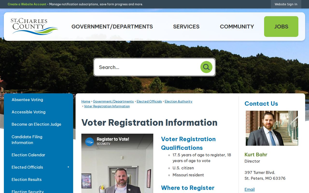
Registration and polling records rely on the voter address and statutory fields, not on a ZIP-wide resident directory.
ZIP Limits in St. Charles
A ZIP code is delivery geography, while a city limit is a governmental boundary. For a St. Charles address, the Assessor's situs field identifies the real estate used for assessment. A mailing field identifies where correspondence goes. USPS city wording identifies delivery convention, and a recorded legal description identifies land by lot, block, subdivision, metes and bounds, or another deed description. These fields can align, but they should not be assumed to mean the same thing.
- ZIP and ZIP+4
- A five-digit ZIP identifies a delivery area. ZIP+4 adds a more precise delivery segment, not a property boundary.
- PO Box ZIP
- A ZIP used for post-office-box delivery. The available official capture does not establish whether 63302 has that classification.
- Unique ZIP
- A ZIP assigned for a single institution or organization. No St. Charles unique ZIP was established in the reviewed sources.
- Carrier route
- A mail-delivery sequence within postal operations. The official route boundaries were not located for this area.
Boundary check. Use the county ZIP polygon layer with the address map before treating a St. Charles mailing ZIP as a City of St. Charles boundary.
St. Charles Delivery History
Historic St. Charles research often begins long before modern delivery codes. The city was founded in 1769 and became Missouri's first state capital from 1821 to 1826. A historic-district address may appear in a directory, deed, church record, or map under an older street spelling. ZIP-based searching cannot repair that gap by itself.
For older location work, pair the parcel or legal description with City maps, deeds, and the library or Historical Society collections. The St. Charles County Library's local-history material includes directories, maps, photographs, newspapers, and yearbooks. The listed St. Charles microfilm directory years are discrete rather than a continuous run: 1906, 1934, 1936, 1948, 1950, 1952, 1955, 1957, and 1959.
Historic Main Street, Frenchtown, the Missouri River setting, and the county-seat record trail give the city more than one address history. City and County offices retain separate permits and records channels. A 1906 directory, a 1917 Sanborn sheet, and a current parcel card may describe the same place in different ways. Compare their dates and fields before carrying a modern delivery label backward in time.
The official sources reviewed did not establish a street-renumbering schedule, a continuous directory run, or ZIP realignment dates. Keeping that uncertainty in the search notes is more reliable than inventing a boundary history. Note: An older address should be tested by street, plat, and legal description before it is assigned a modern ZIP.