
St. Charles Previous Residents Sources
Previous residents are best traced by matching the source to the era. A current parcel card starts the chain, but it cannot tell the full history. Deeds and plats tie people to a transfer and legal description. Discrete directories and federal census schedules are dated household snapshots. Sanborn maps show the built place rather than a household roster. The St. Charles record trail has gaps, so a date should be stated only when the underlying source supplies it.
| Source | Years it covers | Where held | What it shows |
|---|---|---|---|
| Assessor current database | Current certified values; exact history cutoff not located | County public property portal | Parcel, situs address, characteristics, and possible owner or mailing details |
| GIS Address Information | Displayed service extent 1885–2026; availability varies by layer | County ArcGIS service | Address points, buildings, roads, parcel sales, and map attributes |
| Recorder index | Online start not stated by the county | Recorder, Tapestry, Laredo, or office research | Deed chain, liens, plats, and instruments |
| City directories | 1906, 1934, 1936, 1948, 1950, 1952, 1955, 1957, 1959 | Library microfilm and local collections | Address and household or business notations for listed years |
| Federal census | Released under the applicable 72-year rule | National Archives and library databases | Household, age, relationship, birthplace, and address geography |
| Sanborn maps | 1893 and May 1917 | Missouri Digital Heritage and Library of Congress | Structures, lots, uses, and street or block context |
| City permits | Current portal; historical cutoff not located | Tyler search and City Building Division | Service-address permit activity and date clues |
For a recent transfer, start with the parcel and Recorder. For an older household question, pair the nearest directory year with a census release and then test the address on the appropriate Sanborn sheet. No one source proves every prior occupant.
Start With St. Charles Parcel
The County Assessor property database is the right entry point for an address history because it searches by account, street or address, city, ZIP, parcel, subdivision, physical characteristics, year built, and sale date. It does not expose an owner-name field. Capture the account or parcel ID, situs address, possible mailing details, subdivision, lot or block clues, and the legal description before looking for previous residents. The County also cautions that assessment information is not ownership verification or a legal transfer record.
Next, compare the parcel on the GIS. The map can show parcel geometry, road center lines, address points, building footprints, land use, and tax or situs layers. Save the map link, export, or print with an access date. This is a practical way to test whether a present address, road spelling, and parcel shape line up before opening a deed index.
The County GIS parcel-information service is the documented map route for parcel and legal-description context.
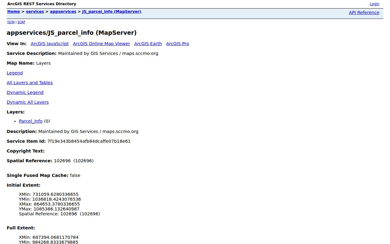
The parcel view helps hold the address history to the land unit when a street label changes across older records.
Follow St. Charles Deed Chains
The deed chain is the core method for prior owners. Start with the current owner shown on the parcel card and search that person as a grantee, the party receiving the land, in the Recorder index. Read the resulting purchase deed for its grantor, recording date, instrument number, and legal description. Then search that seller as a grantee to find the seller's earlier purchase. Repeating this backward method follows the chain toward earlier transfers.
- Match the current parcel's legal description to the most recent purchase instrument, not merely to a similar street number.
- Record the grantor, grantee, date, instrument number, and any book or page route displayed with the deed.
- Search the prior seller as a grantee and confirm that the legal description remains the same parcel or lot.
- Repeat backward, noting a sale, plat, subdivision name, or address spelling that breaks the chain.
- For a forward check, start with an earlier grantee and search that party as grantor, matching the legal description through later transfers.
- Grantor and grantee
- The grantor transfers an interest. The grantee receives it. A person can appear in both roles at different points in a chain.
- Chain of title
- A sequence of recorded transfers tied to the same land description, not simply a list of names at a street address.
- Legal description
- The lot, block, subdivision, or metes-and-bounds text that identifies land for recording purposes and can outlast a street-number change.
The Recorder provides free in-office research, paper prints for $1 per page, online Tapestry research that may charge per search, and subscription-based Laredo access. The county also describes walk-in, mail, and e-recording channels. Its land-record page does not disclose the online index start date or image coverage by year. When an online search stops producing records, use the Recorder's office research route rather than claiming an unverified cutoff.
Preserve St. Charles Address Continuity
Old addresses do not always resolve cleanly in a modern database. A current situs, mailing address, ZIP, legal description, and county parcel label each serve a different purpose. Compare old street abbreviations, directional terms, lot or block descriptions, plats, GIS road layers, and the deed text before deciding that two records describe the same place. A lot copy shows property lines and dimensions but not the structures on the lot.
No official St. Charles street-renumbering or renaming schedule was located. Likewise, city and county boundaries do not map exactly to a mailing ZIP. A suspected address change is a reason to preserve the uncertainty and continue with the parcel or legal description, not a reason to attach an invented year to the change.
Pair St. Charles Directories and Census
Previous residents become a household question after the deed trail identifies a time range. St. Charles microfilm years documented by the official holdings guide are 1906, 1934, 1936, 1948, 1950, 1952, 1955, 1957, and 1959. Search a reverse or criss-cross section by number and street, record the exact printed year and page, then compare the nearest available volume. These are discrete holdings, so they should never be presented as an annual run.
- Put the deed transfer date beside the nearest listed directory year, then capture the exact address wording and directory page.
- Pair that directory date with a released federal census schedule through the 72-year rule. The St. Charles County Library provides census databases, while the Historical Society holds census indexes.
- Compare surname spellings, initials, spouse or widow notation, street number, and age or relationship details before treating entries as the same household.
- Use a later deed, permit, obituary, or probate date only as a possible explanation for a change, not as proof of uninterrupted presence.
The St. Charles Directory Book collection page is the local route for the directory shelves themselves. Missouri's State Archives resources add county records, judicial materials, naturalizations, land records, and historical research paths. Pre-1910 birth and death abstracts plus the 1910–1975 death-certificate collection description can add family or death clues, subject to each archive's record rules.
Date St. Charles Buildings
Sanborn maps and permit activity help date the built place, not the people who lived there. St. Charles has an 1893 Sanborn scan through Missouri Digital Heritage and a May 1917 set of 17 sheets at the Library of Congress. Compare a sheet's structure, lot, use, and street or block setting with the present GIS building footprint. A difference can flag demolition, rebuild, lot consolidation, or an address-continuity problem, but it does not establish the reason by itself.
The City permit search accepts Permit Type, Permit Number, and Service Address. The City Building Division is the public route for permits, plan review, inspections, and code administration. Historical online permit coverage and live-result fields were not located, so a missing web result is not proof that no earlier work occurred. Pair the service address with the parcel and date every result.
Note: Sanborn sheets describe structures and block form; they are not household lists.
St. Charles Records Geography
St. Charles is the county seat, and its records geography is visible downtown. The Recorder is at 201 N. Second Street, Suite 338, and the Circuit Clerk is at 300 N. Second Street, Suite 217. The Historic County Courthouse at 100 N. Third Street reflects the county-seat setting known as Clerks' Hill, where the permanent courthouse site was purchased in 1851. That history explains why land, court, and county administrative routes cluster here, while city permits follow a separate City channel.
The Historic County Courthouse record provides the county-seat context for an address-history search.
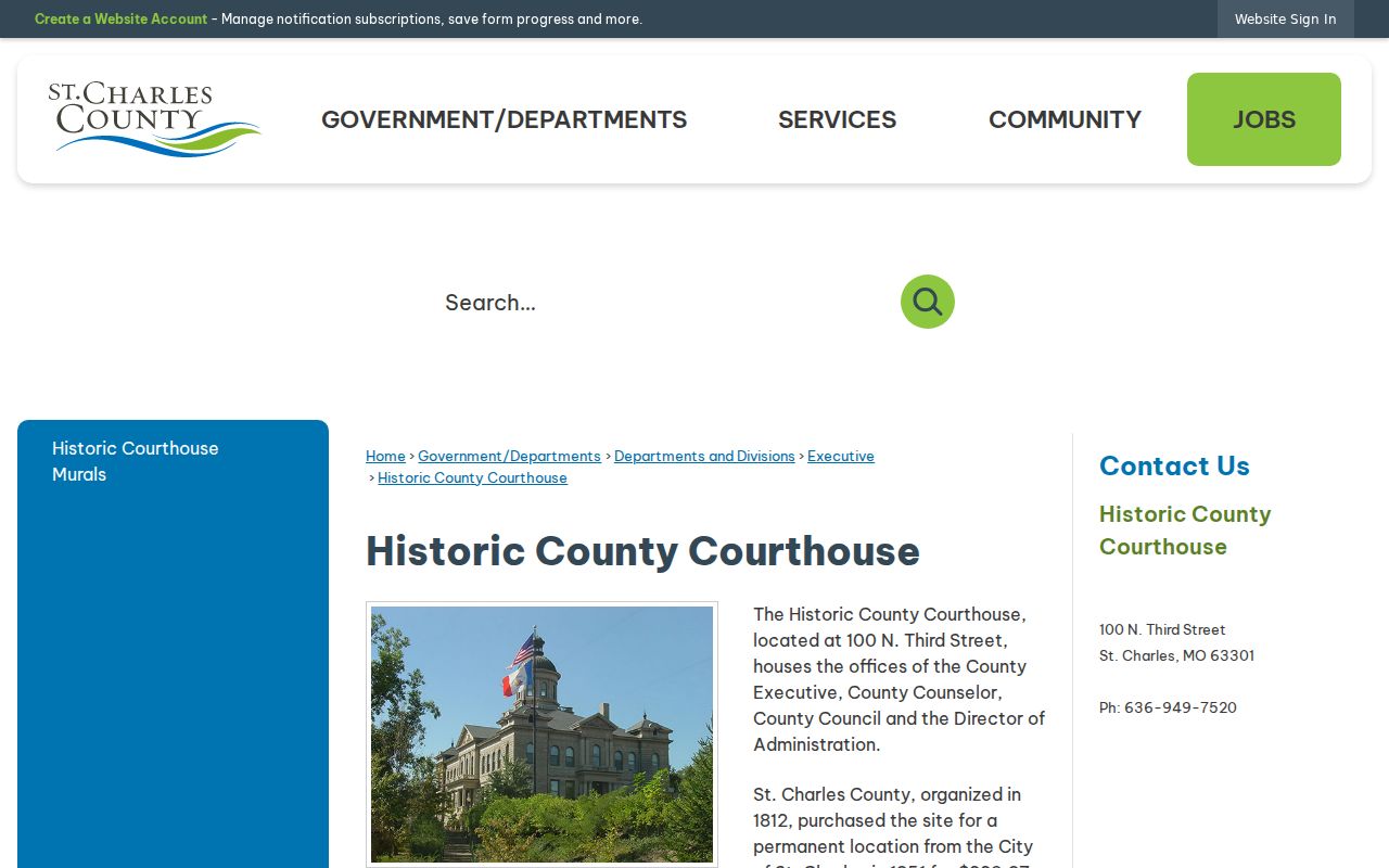
Use the courthouse context to choose the right custodian, then use the parcel and deed details to keep a previous-residents search specific.
Read the St. Charles Time Capsule
The City's 2026 Time Capsule material is a rare local address snapshot. It publishes names, addresses, family relationships, and contents as they appeared in 1976-era time-capsule records. That can give a dated lead for previous residents in the historic downtown area without replacing a directory, census, or recorded transfer. Treat its wording as a historical transcription, not current identity information.
The City's Time Capsule record is the source for this historical St. Charles address and relationship material.
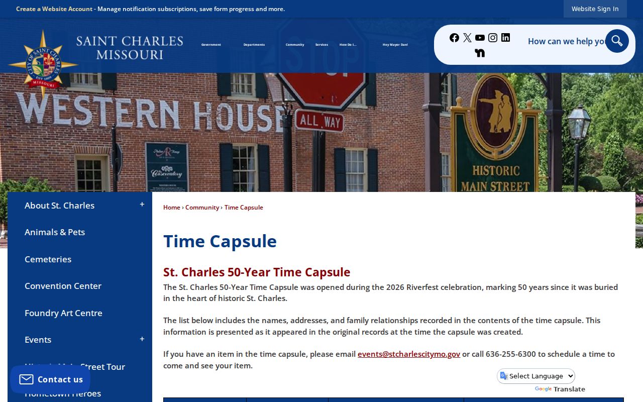
When a capsule entry and a directory use the same address, keep their separate dates visible rather than blending them into one undated claim.
Match St. Charles Past Households
Past households are documented through dated directory and census snapshots, not by assuming that the deed owner occupied the property. The St. Charles County Library genealogy resources cover census, land and tax material, maps, photos, yearbooks, newspapers, local history, and licensed research databases. The Kathryn Linnemann Branch is associated with the Bizelli-Fleming Local History Collection. The Historical Society holds more than 200 years of local material, including street files, deeds and abstracts, directories, census indexes, obituaries, cemetery records, court books, and family-history files involving more than 75,000 people.
Archive work is a useful fallback when online research ends. The Historical Society is at the Old Market House, 101 S. Main Street, and lists research hours Monday, Wednesday, and Friday from 10:00 to 3:00, with Saturday by appointment. The Library's future Heritage Center was announced for mid-to-late 2026 at the Heritage Museum in St. Peters, with a 16,000-item local collection then held at Kathryn Linnemann. Ask for a surname spelling, address, relationship, and time period rather than assuming every file is searchable online.
Lawful use. Address-history research can support family history, heir questions, or local history. Never use information about a living person to stalk, harass, intimidate, or harm them.
Limits on St. Charles Address History
A previous-residents result is only as strong as its source and date. The county did not state the Recorder's online cutoff, an exact historical permit cutoff, a complete local directory run, or an official citywide renumbering schedule. Neither a parcel card, deed, directory, census schedule, map, nor permit proves every person present at an address over time. Keep the source URL, access date, page or instrument number, street spelling, and legal description with each finding.